- Innovate
- Involve
- Implement
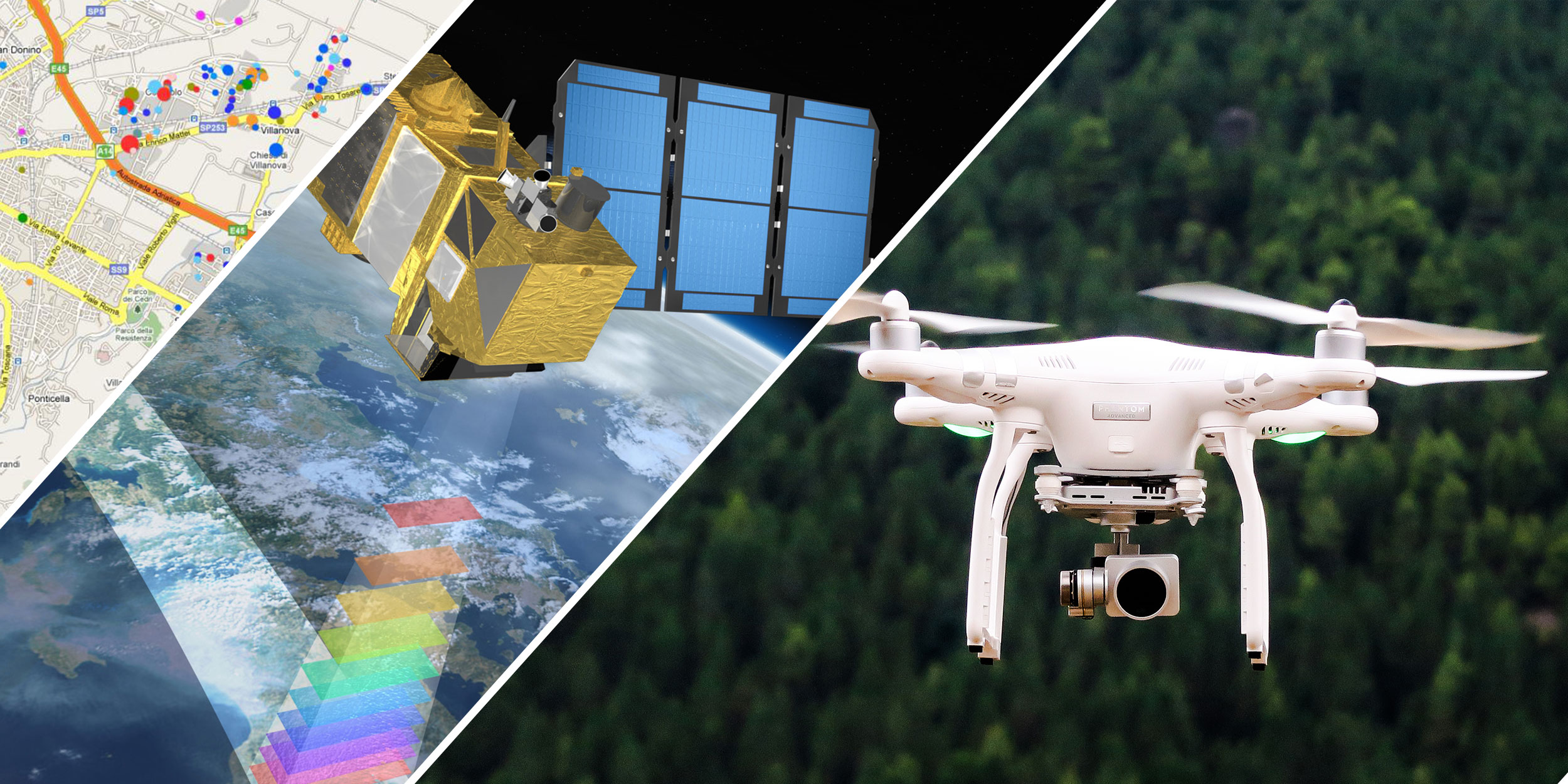 Remote Sensing & GISDiscover Now
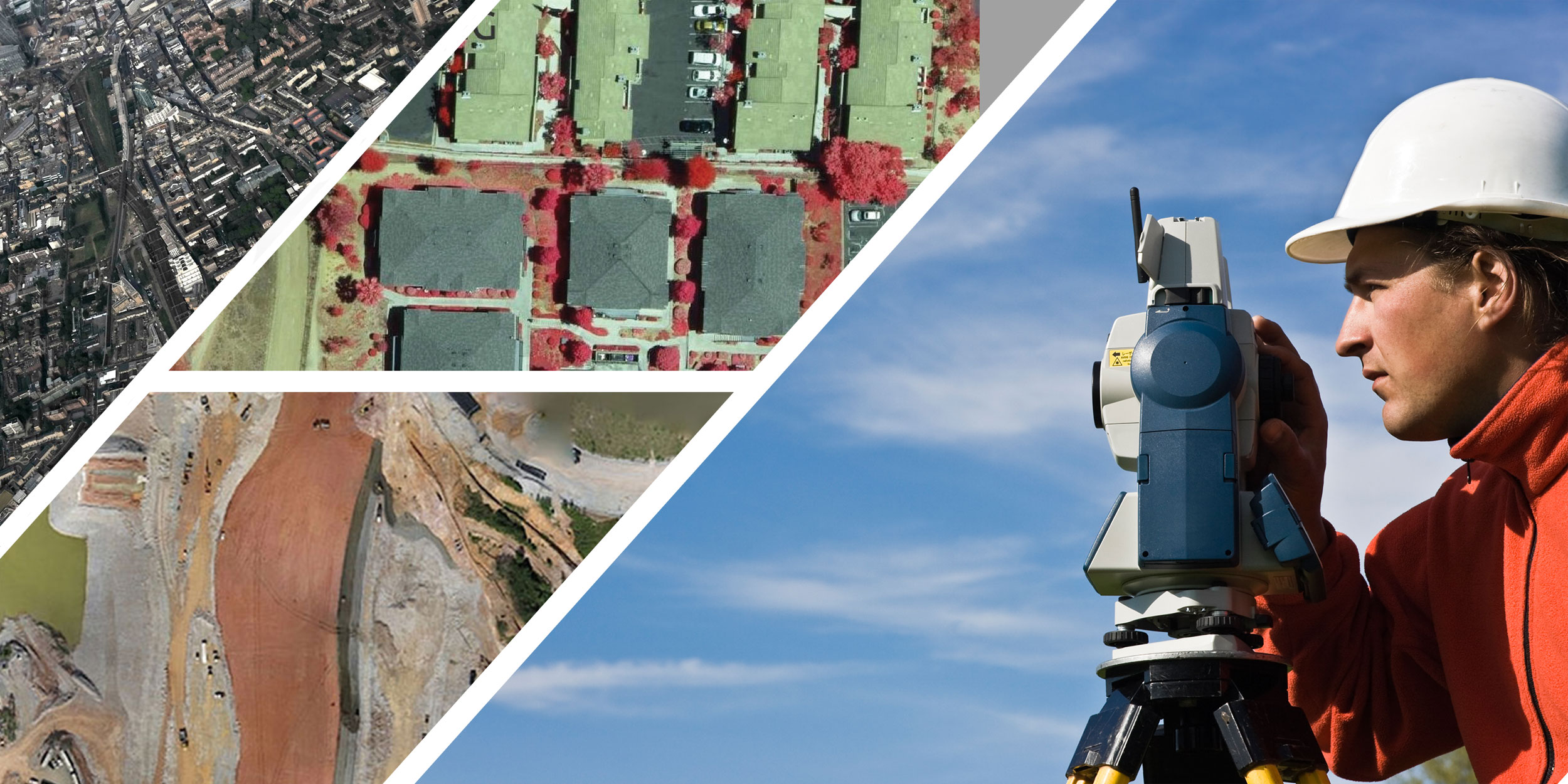 Topographic Survey & Web GiSDiscover Now
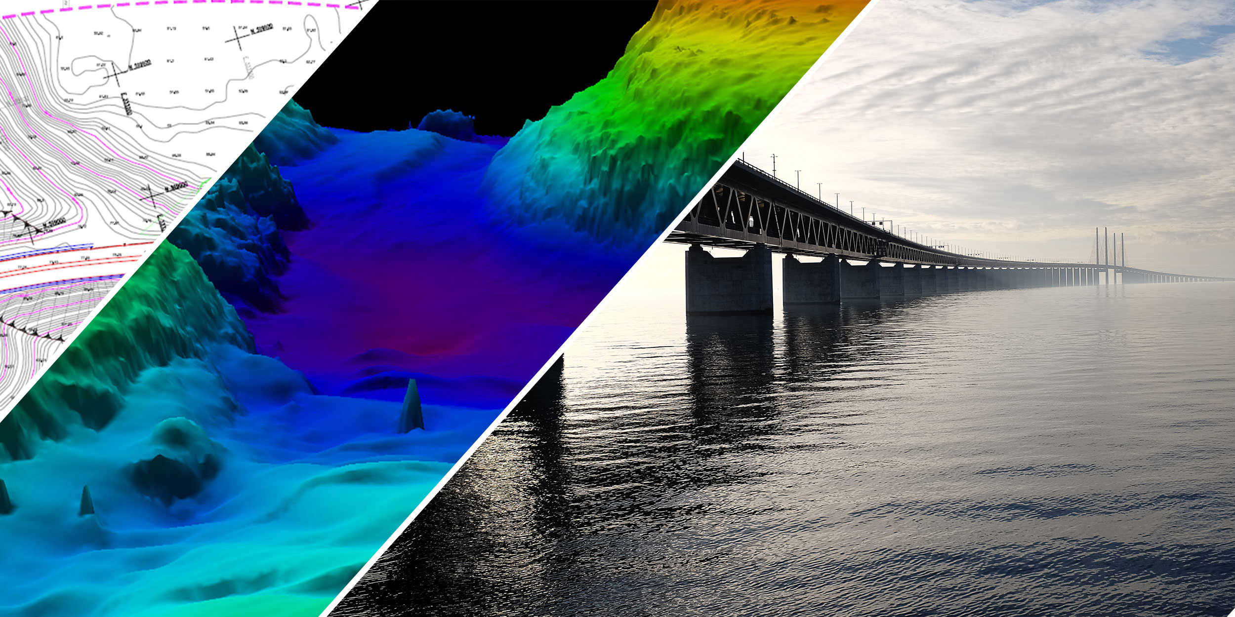 LIDAR & BathymetryDiscover Now
Study of river beds
Geographical Information Systems

Computer Aided Design and Drafting
Converting Data to Different formats

Nakashe Technologies Pvt. Ltd, is a multi-dimensional and multi-faceted organization, established with an ambition to provide innovative, out-of-the-box solutions in the field of geo-informatics.
We specialize in providing end-to-end geospatial solutions for organizations in different fields, using Geographic Information Systems (GIS), Remote Sensing, Surveying, CAD, GPS Technology for managing spatial phenomena and process development.