LiDAR (Airborne and Mobile LiDAR)


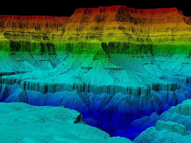
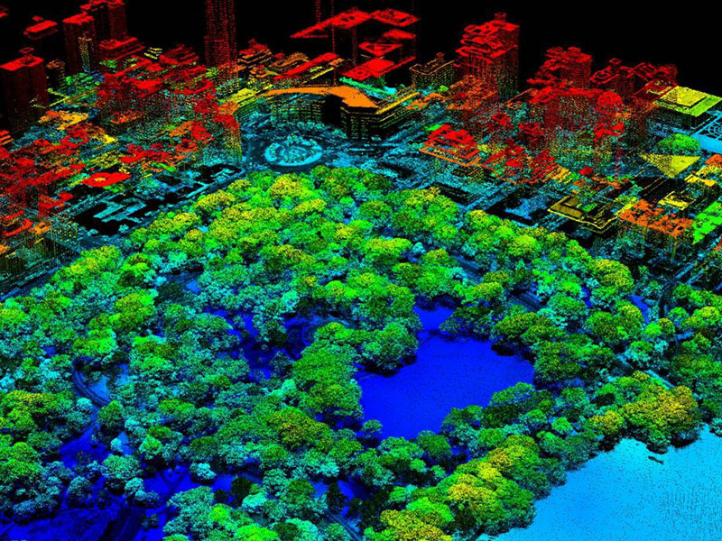
LiDAR (Airborne and Mobile LiDAR) : Light Detection and Ranging (LiDAR) is an optical remote-sensing technique that uses laser light to densely sample the surface of the earth, producing highly accurate x,y,z measurements. The LiDAR produces mass cloud Point. We offer following services to our clients.
- LiDAR Point Classification
- Bare earth extraction
- Processing LiDAR data
- GIS Thematic Layer extraction
- DEM/DTM Generation
- Contouring
- Mobile Laser Scanner data processing and vectorization