Remote Sensing & GIS
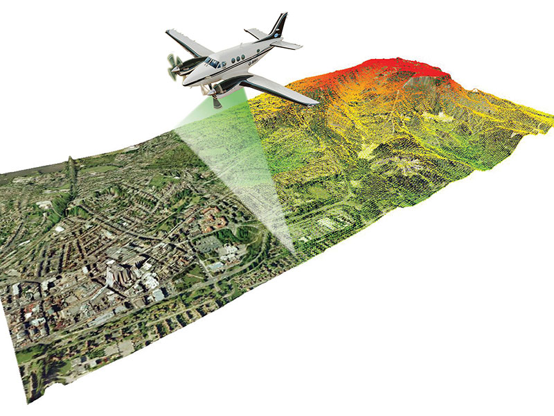

Remote Sensing & GIS : Remote Sensing technology is one of the tool to capture Earth Image Remotely by using Remote Sensing Satellite Image Sensors. Remotely Sensed image wills give us the ‘Bird’s Eye View’ of the area. Nakashe Technologies provides following services using Remote Sensing Satellite Imagery.
- Data capturing using Low and High Resolution Satellite Imagery
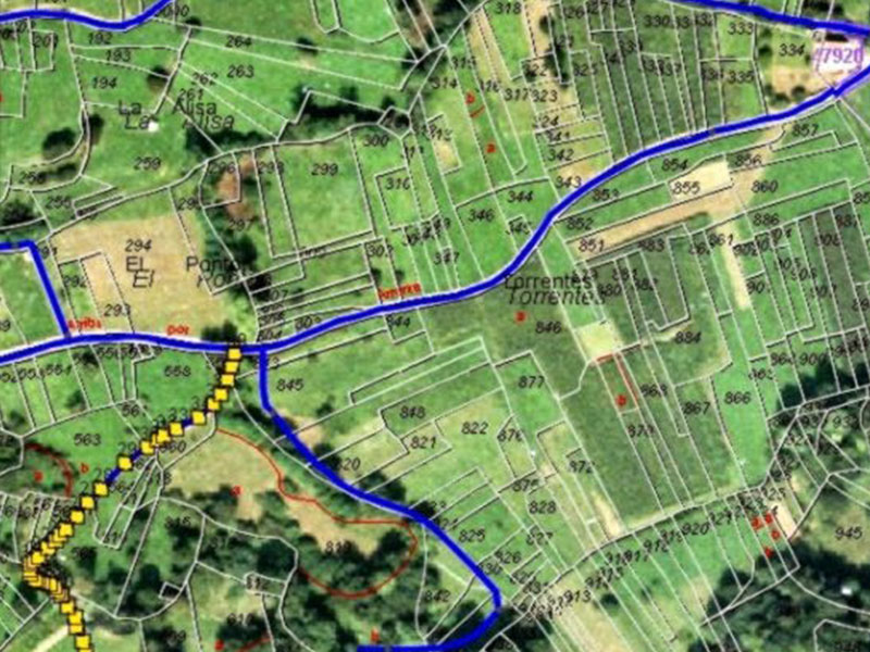
- Interpreting the Satellite Imageries
- Ground truthing the interpreted Thematic Layers
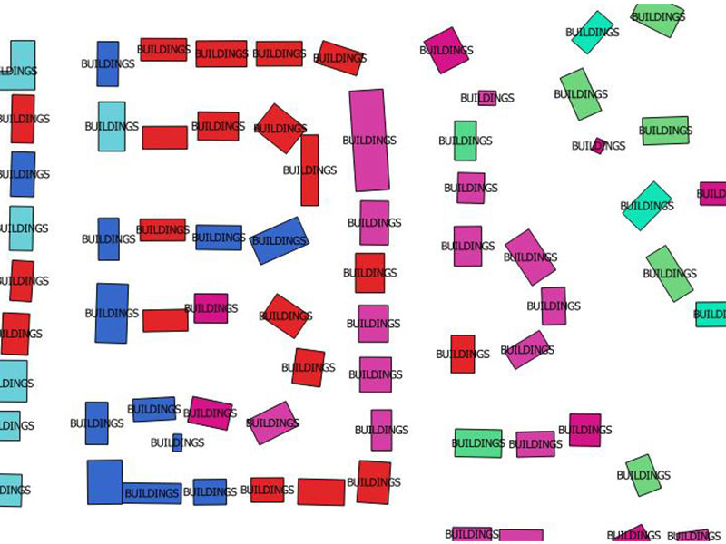
- Creation of Thematic Layers using GIS
- Geoprocessing and analyzing
- LU/LC Classification and Change Detection
- NDVI Analysis
- GIS conversion